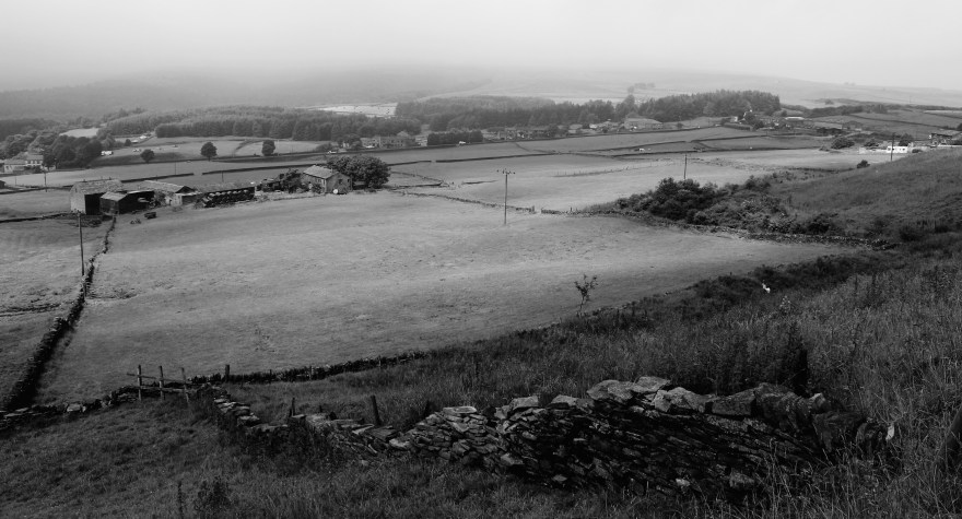
Taken in February 2015, this image has been central to my MA show and the forthcoming show at Dean Clough. The key that gives information about each letter can be found in earlier post (19th September 2016) – see below.

Brakspear Ceramics: Landscape, clay and function. Please click on photographs to see projects / information etc….
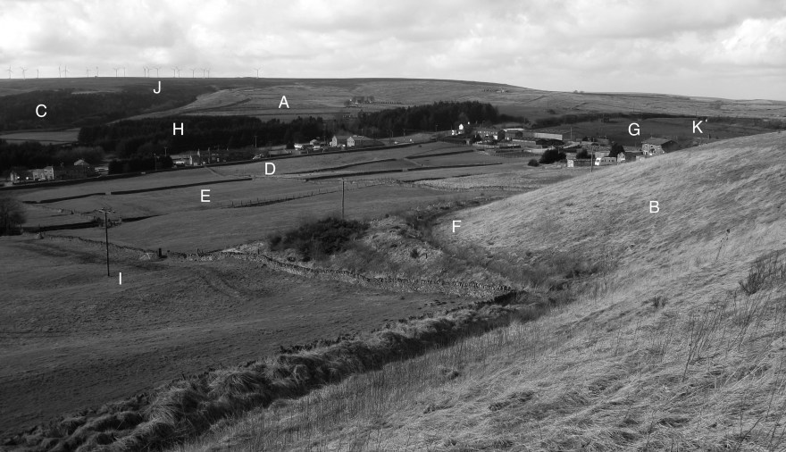
Taken in February 2015, this image has been central to my MA show and the forthcoming show at Dean Clough. The key that gives information about each letter can be found in earlier post (19th September 2016) – see below.
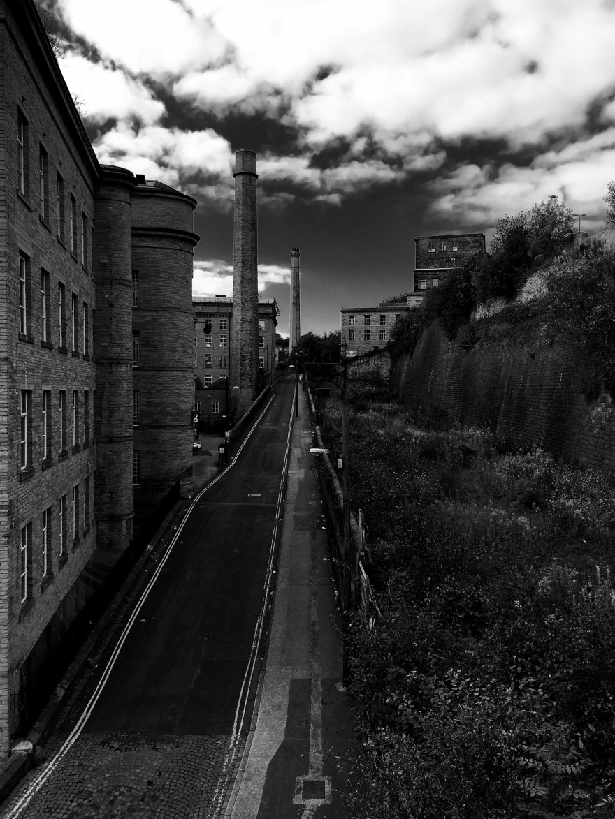
Really looking forward to the show at Dean Clough opening on the 15th October. Below are some views of Halifax, including one from Bill Brandt’s classic vantage point at Dean Clough, taken during the days I went up to install the work in the Link Gallery.


A: Ovendon Moor – Rough Rock Sandstone (Carboniferous era, c. 313 to 314 million years BP) covered by peat deposits (formed since last ice-age) and heather moorland
B: Original Penine Lower Coal Measures Formation mudstone (Carboniferous era, c. 312-313) and Middle Band Sandstone (Carboniferous era, c.312-313 million years BP) layers much of which was removed by clay extraction, now “landscaped” and covered with surface soil and unimproved grassland
C: Hebble Brook, stream cut valley (post-glacial) with semi-natural ancient woodland above Ogden Reservoir
D: Possible route of Roman road through Causeway Foot. This road from Halifax to Denholm, now the A629, passes through Causeway Foot and is recorded on earliest OS map of 1851. The Roman Road M720a running from Ilkley to Manchester crosses this road just north of Ogden (it is not marked on the current OS map but is clearly marked on the 1st Edition OS map from 1847-9).
E: Penine Lower Coal Measures Formation mudstone (Carboniferous era, c. 312-313 million years BP) covered by surface soil, and the pattern of enclosed fields and improved grassland established in the early 19th Century
F: Curving linear feature – perhaps demarking the Parish boundary which follows this line on the 1847-9 OS map, or part of the more recent landscaping work. Originally interpreted as a leet carrying water to the pottery
G: Domestic and industrial developments (19th Century) along Coal Lane adjacent to Soil Hill Pottery works (originally Swilling End Pottery – now in conversion to residential. Soil Hill is referred to as Swilling Hill on the early edition OS maps.
H: Coniferous plantation at Mount Pleasant (20th Century)
I: Telegraph poles (Mid 20th Century)
J: Wind farm (21st Century) above deciduous broadleaf woodland running alongside south bank of Ogden Clough down to Ogden Water. The wind farm in this picture has been removed (2016) and a new wind farm of a smaller number of much larger windmills / turbines is being erected (October 2016)
K: Landfill site – now closed (21st Century).
Note: BP is Before Present.
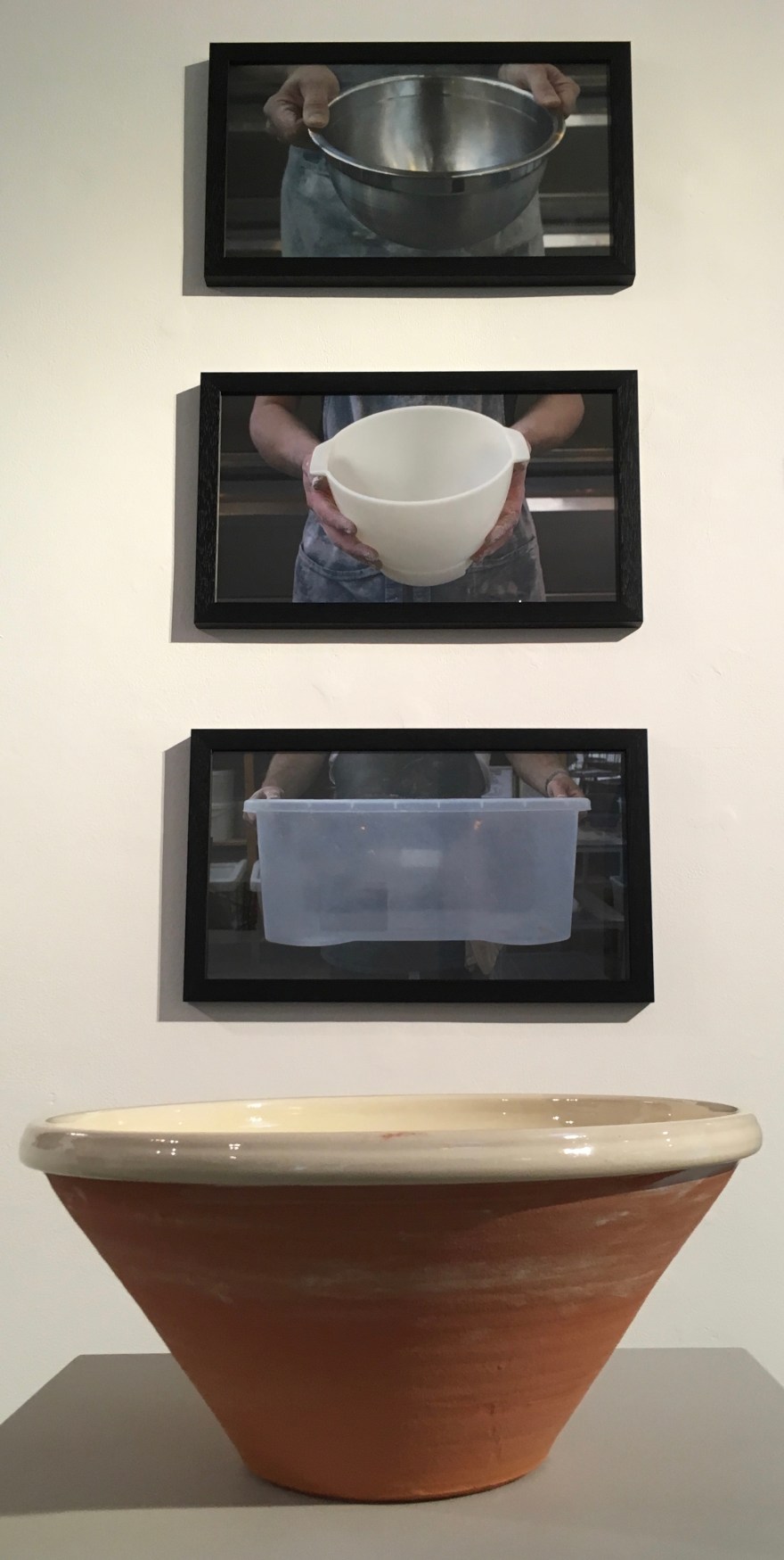
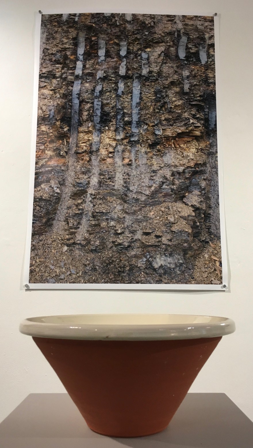
Our MA Degree Show is opening on the 23rd September at Sion Hill Campus, University of Bath and will be open for viewing until the following Wednesday 28th. Just to whet any interested appetites, here are some photographs of Soil Hill landscapes that are not part of the show – selected from a range of images taken for the project, and some recent Soil Hill clay pancheons, slipped and drying before firing.
If you are interested in seeing the show but cannot make it over this short “window” (23rd-28th September) – the full exhibition will be on show at the Link Gallery, Dean Clough, Halifax, West Yorkshire from October 17th 2016 – and open for three months. The MA show will only be a small snapshot from the wider project.